
Tropical Storm to End Summer Heat
500mb Ridge over Southern and Eastern USA; Courtesy of NCEP
A massive high pressure ridge has transplanted the Ohio Valley from a soggy, cool spring into a very warm, dry summer. With that summer is here to stay, right? The answer is no. When you have a dramatic flip from one pattern to the other without any subtle or gradual change, the chance of the pattern lasting for any length of time is short. This is going to be the case starting next week. Until then mostly sunny skies, temperatures in the 80s to low 90s, and moderate humidity will remain over the region. A few stray storms are possible Wednesday and again late Thursday but the threat for widespread rain stays away for now.
Surface High off to the East and South; Courtesy of NCEP
500 ridge rebuilds in the Ohio Valley and Trough Digs off the Eastern Coast; Courtesy of NCEP
As we progress through the week the ridge will build back over the region; however, change will begin by late in the week as surface high pressure scoots off to the south and east of the Ohio Valley. At the same time a deepening eastern trough across northeast Canada and the Atlantic waters will begin to squeeze the high to the south. The result can often lead to tropical mischief in the Caribbean and this is a scenario that as the week draws to a close more and more people will begin to talk about it. Here at MyWeatherTech, you can be one of the first one’s to know about the potential.
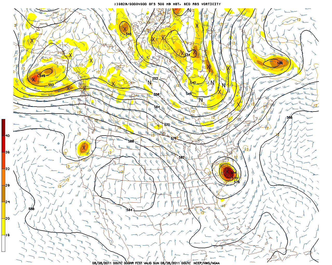
Sunday Map of the Caribbean:
Caribbean Sea; Courtesy of NCEP
The map here shows how high pressure is draped across the southeastern United States and the northern Gulf of Mexico but a lot of disturbed weather is sitting in the Caribbean Sea. Pressures during the day Sunday are beginning to lower.
Tuesday Map of the Caribbean:
Caribbean Sea; Courtesy of NCEP
As of Tuesday afternoon, pressures continue to fall which suggests that development of a tropical entity is a possibility. The map you are looking at is the Global Forecasting System Model (GFS) and this map is not the best at having a good handle on tropical location and pressures. However, the GFS senses a threat and at this point in time that is the theme that is focused upon.
Focusing matters back to our region by the information of the potential tropical threat, you can see that the trough is backing in towards the Ohio Valley.
Next Wednesday:
Trough over New England and Backing West; Courtesy of NCEP
As the trough takes over, cooler and wetter weather will make a return to the Ohio Valley. Temperatures of 90s will be replaced by 70s and dry days will be replaced by rain and thunderstorms. As I always stress, timing is going to be an issue. A day faster or a day slower from a week out is possible but the message is that after a solid week to ten days of summer-like temperatures, summer is going to be exiting the area.
Day 10 Trough; Courtesy of NCEP
Day 16 Trough; Courtesy of NCEP
Clearly by Day 10 (June 10) and by Day 16 (June 16), the trough is entrenched over the eastern half of the United States which brings back unsettled weather thanks to the tropics getting involved so early in the season.
Keep it here at www.myweathertech.com for further updates.
By Weather Specialist Josh Ketchen
Short URL: http://www.myweathertech.com/?p=1698


