Super Typhoon Songda Could be Headed for Eastern Japan
With Hurricane and Typhoon Seasons among us, we focus our weather attention to Asia once again. A super Typhoon is bearing down on the Philippines with sustained winds of 160mph and gusts as high as 195mph. Songda is a dangerous storm with very strong winds and torrential rain and could create havoc for small vessels near the core of this storm. This storm will track north and is expected to weaken as it passes over cooler waters but will still pack a punch
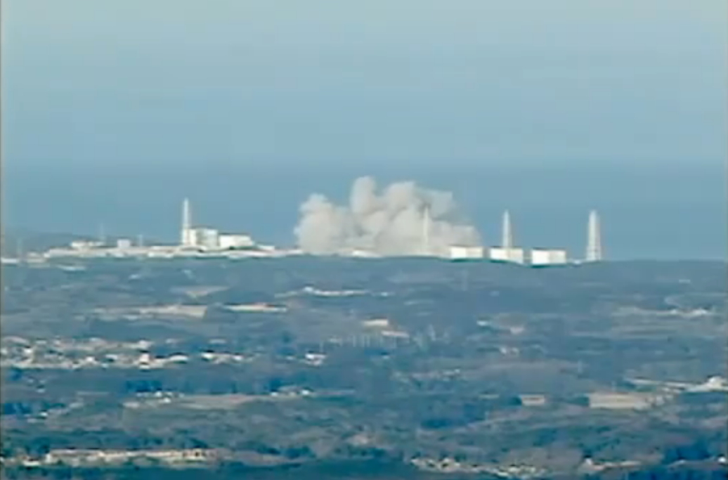
Therein lies the concern for this monster. As the storm progresses it will take a track to the east north east and by Monday , this storm could be flirting with a the east coast of Japan. Yes, that’s right. The people who have been devastated from the tsunami a few months back and who are now suffering from ongoing radiation, may have to deal with torrential rains and 100mph winds as soon as Tuesday. We can only hope this continues at a more easterly track and misses the country all together, but latest models show a descent hit.
How will this effect the United states? The thought right now is that the storms track will pass east of Japan and should head east into the Pacific. As the storm passes it could wrap up an abundance of moisture which would contain high levels of possible radiation and with current steering winds, head right for the United States. We are not talking about Songda or a big storm, but the possibility of spreading the Fallout cloud farther east than it may normally spread. This situation may be bad for Japan but could really enhance our already dangerous situation developing in the states.
Keep it here at myweathertech.com for all the latest.
Short URL: http://www.myweathertech.com/?p=1569


